FAMILY SYSTEM · THE PHONE IS A TOOL, NOT THE PLAN
The Family No-Service Day-Trip Plan: Maps, Meeting Points, and the Turnaround Rule
Download the map, write down the decisions that matter, brief the kids, and make the return time independent of signal bars.
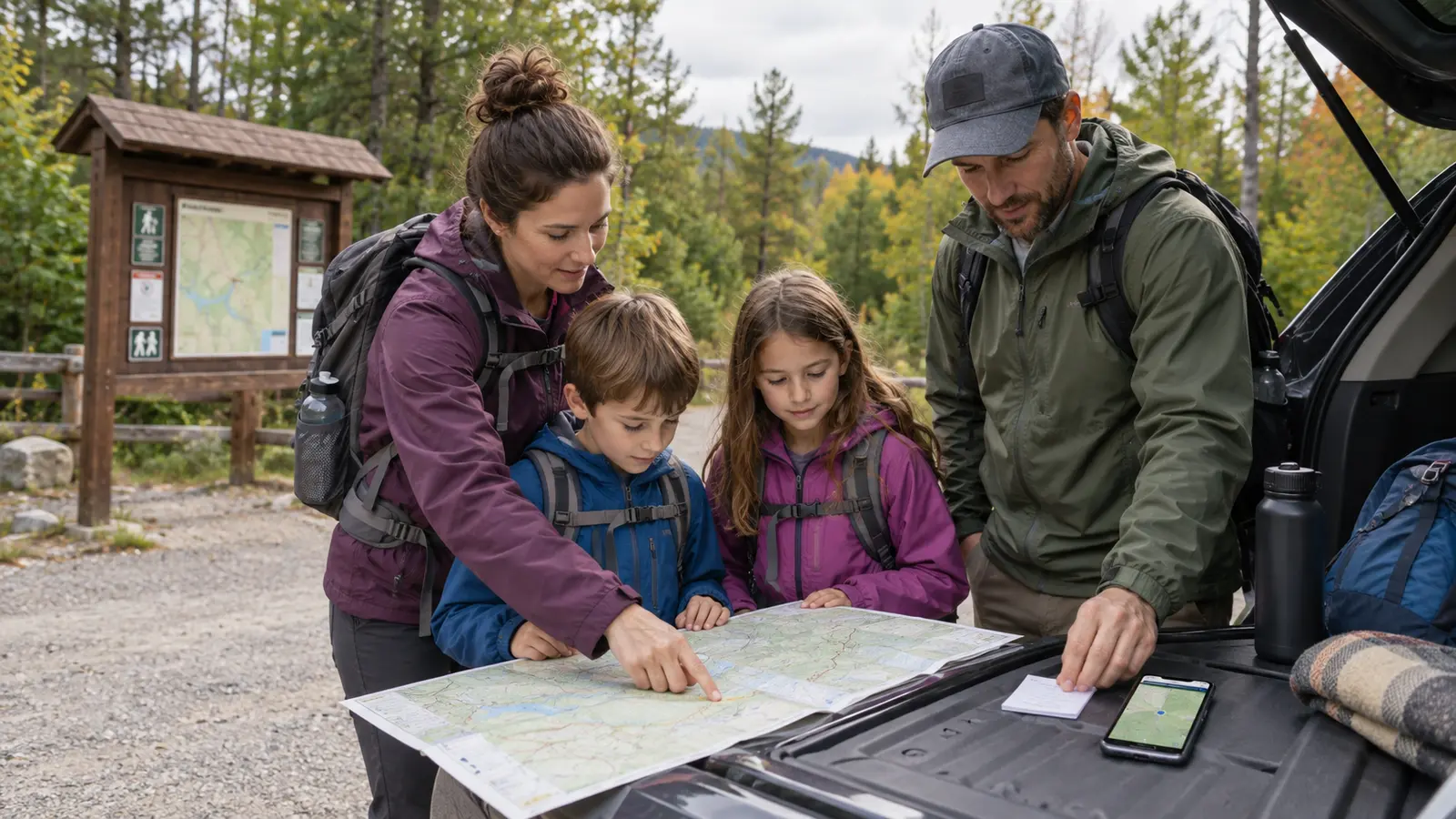
Start with the limits of the trip
This plan is for ordinary family day trips where coverage may be weak: state-park roads, trailheads, lake access, rural attractions and mountain corridors. It is not a substitute for wilderness training, a personal locator beacon, a marine radio, avalanche equipment or a destination-specific emergency plan. If the trip enters remote terrain where delayed rescue is a realistic consequence, use the land manager’s guidance and qualified instruction for that activity.
Write four boundaries before packing: the route, the farthest point, the turnaround time and the person outside the trip who knows the plan. If the destination requires a permit, parking QR code or digital ticket, save the official offline version or print it. A screenshot is useful only when it includes the information the gate actually needs.
The six-part offline packet
1. A paper overview
Carry an official map or a printout that shows the start, route, landmarks, junctions and exit. A paper map does not need a password, battery or app update. It is still useless when nobody knows where the group is on it, so orient it at the trailhead and mark the planned route.
2. A downloaded digital area
Download the destination in the mapping tool you already understand, then test it in airplane mode before leaving Wi-Fi. Google and Apple both publish official offline-map instructions, but features differ and software changes. Offline maps may lack current closures, live traffic, transit details or every trail. The land manager’s current map and closure page remain the authority.
3. Written critical details
Put the destination address, vehicle description and plate, emergency contact, relevant medical information, meeting point and planned return time on one small card. Keep personal information to the minimum that helps. One adult carries it; an age-appropriate child can carry a simpler contact card. Do not place a full home address on the outside of a child’s bag.
4. Two meeting points
Choose an immediate meeting point—such as the visitor-center entrance—and a later one, usually the vehicle or staffed location. The point must be specific, visible and safe. “By the trail” is not a location. Review the lost-kid script: stop moving, stay visible and ask an identified employee, ranger or another clearly appropriate helper.
5. A check-in plan
Tell the outside contact where you are going, who is with you, the vehicle, the route and when to expect the “back” message. State what they should do if that message does not arrive, using the destination’s official contact or local emergency guidance. Do not make vague social-media posts the safety system.
6. Power with a reserve
Charge the primary phone, close avoidable background tasks and carry the correct cable. A power bank can extend runtime; it cannot create coverage. Keep the device protected from water, impact and temperature extremes. The family power guide explains capacity and car-charger tradeoffs without pretending a battery replaces planning.
The five-minute trailhead brief
- Show everyone the vehicle and both meeting points.
- Name the route and the one place the group will not go beyond.
- Confirm which adult leads and which adult closes the group.
- Tell children they do not run ahead past the next signed junction.
- Read the hard turnaround time out loud.
- Check the latest posted closure, weather and hazard notice while service still exists.
Keep the brief short enough to repeat. A plan nobody remembers is a document, not a family system. Pair it with the parking-lot handoff so children know when trail freedom ends and vehicle traffic rules begin.
The turnaround rule
Choose a time that protects the slow return, not the optimistic arrival. Include the slowest walker, food stop, restroom, fading light and the drive out. Turn around at that time even when the phone says the destination is close. GPS position can remain available without cellular service, but a dot on a screen does not guarantee the route, battery or weather is safe.
Also turn around for any hard trigger: the route no longer matches the official map, a child’s pace changes sharply, weather closes visibility, the group loses required water, or the next decision depends on online information you cannot retrieve. Use the go, shorten or leave system before conditions make the choice.
If the group gets separated
The child’s job is to stop, stay visible, use the practiced helper script and avoid taking a “shortcut” to the vehicle. The adult’s job is to stop creating two moving search problems, alert staff or emergency services promptly when appropriate and provide the child description, last known point and route. Do not delay a serious response because a tracker shows an old location.
The location-tracker guide separates Bluetooth finding, cellular sharing and actual emergency response. Bluetooth tags depend on nearby participating devices. Cellular watches and phones depend on service, power, settings and accounts. None can promise a live position everywhere.
If the vehicle route loses service
Have the full destination and return route downloaded, not just the final pin. Write the last major road, fuel plan and destination phone number. If directions conflict with road signs, closures or a barricade, follow lawful official controls and stop somewhere safe to reassess. Do not use a narrow shoulder as a navigation desk.
Keep fuel above the level required for the route and detour. If the day depends on a remote charger, ferry, gate or seasonal road, verify it with the operator before departure. Coverage maps and app estimates are planning aids, not guarantees at one bend in the road.
Weather and kid-meltdown backups
Save the latest official forecast while connected and still look at the sky and posted alerts. A saved forecast is a timestamped snapshot, not a live warning service. Weather radio, land-manager alerts or activity-specific equipment may be appropriate depending on the destination.
If a child is done, shorten to the staffed or familiar anchor rather than improvising a new loop. If the offline map fails its airplane-mode test, use the paper route or choose a connected backup destination. If both adults disagree about the next junction, stop together, return to the last confirmed point and do not let impatience make a third route.
What to pack
- Official paper map or printout in a weather-resistant sleeve.
- Charged phone with downloaded area and destination details.
- Correct charging cable and a maintained power bank if justified.
- Small written contact, meeting-point and vehicle card.
- Water, food, layers, first aid and required personal medication for the actual outing.
- Whistle only if the family has a simple, practiced rule for its use.
- Flashlight or headlamp when the plan approaches low light, plus a turnaround that aims not to need it.
Who should skip the trip
Skip or choose a closer plan when the route cannot be verified offline, severe weather is possible, the group lacks the experience required by the terrain, an essential medical or communication need depends on reliable coverage, or the return requires a digital service that has not been confirmed. Adventure is optional. Getting every person back to the vehicle is the job.
Official planning sources
- Ready.gov family communication plan
- National Park Service Ten Essentials guidance
- National Park Service trail and hike-planning resources
- Google Maps official offline-area instructions
- Apple Support official offline-maps instructions
- National Weather Service safety resources
MAKE THE WEEKEND COUNT
Useful beats heroic.
Build the day your family can finish well, then leave enough energy for the ride home.
More family plans