Parking
The selected section map or current operator confirms designated public parking. Do not create a shoulder space or block a gate.
CENTRAL NEW YORK · FREE OUT-AND-BACK · AUTHORITY-EXPANSION
The park is 36 miles long. Your family does not need to conquer it. Pick one legal access, walk thirty minutes beside the old canal, turn around and let one piece of infrastructure carry the history lesson.
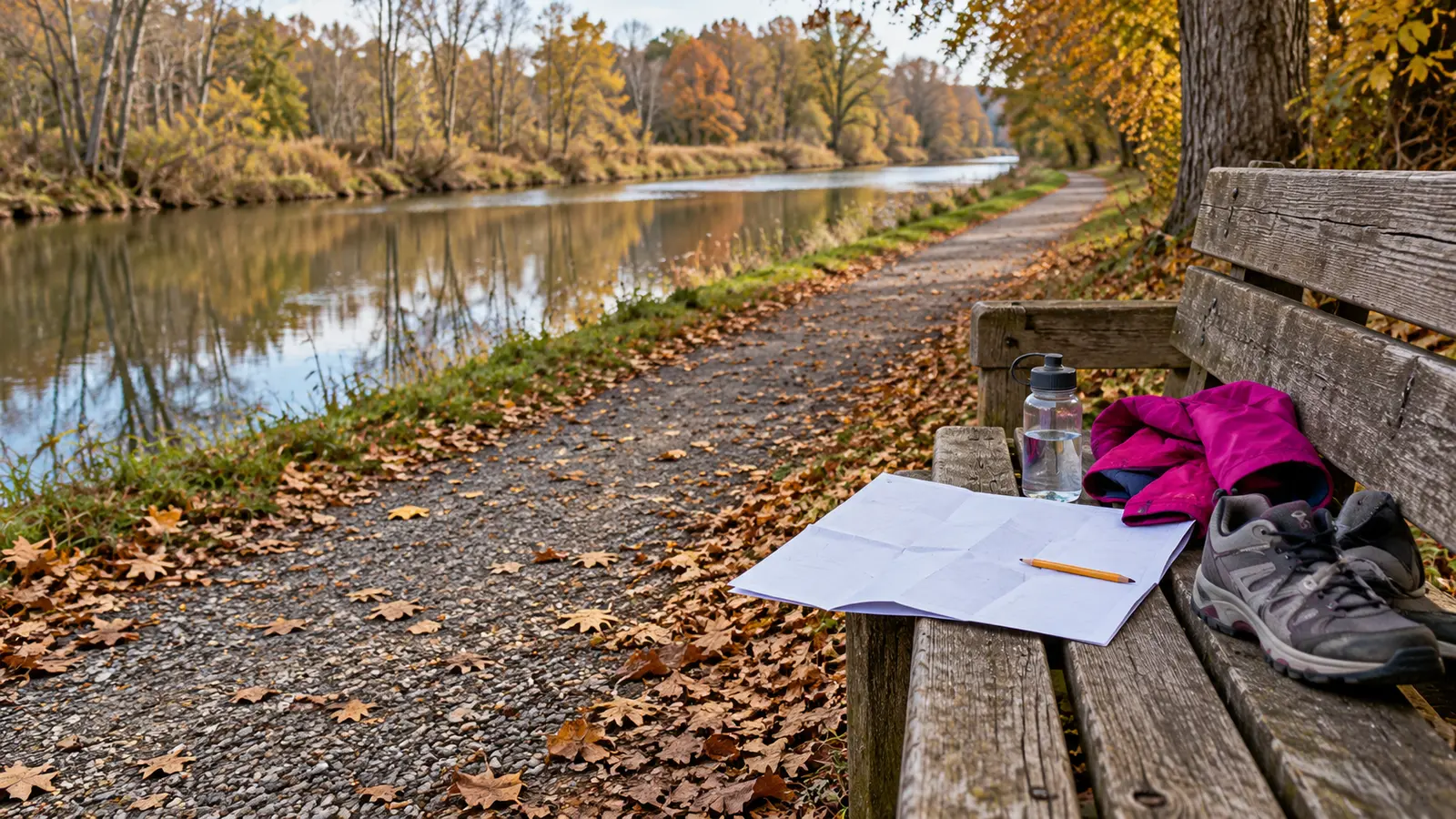
Select one current legal access on the official Old Erie Canal overview map, walk beside the canal for 30 minutes at the slowest person's pace, turn around on time, use one visible structure or landscape clue to explain how a canal corridor worked, and finish before the return becomes the punishment.
The New York State Parks page describes the park as a 36-mile stretch from DeWitt to Rome through woodland and wetland, with hiking, picnicking, bicycling and other permitted uses. It is open year-round from sunrise to sunset. Those facts do not guarantee that every access has an open restroom, smooth surface, barrier at the water or the same operating partner. Name the section before loading the car.
The official park page identifies Cedar Bay Park as a picnic-shelter location operated through a cooperative agreement with the Town of DeWitt and directs visitors to call 315-446-9250 for information. That makes it a practical candidate for families who want a named picnic anchor near the Syracuse end. It does not make every facility open today. Confirm parking, restroom status, shelter use and the route from the lot to the towpath.
If Cedar Bay does not fit, use the official DeWitt, Green Lakes, Chittenango, Oneida or Rome section map to pick another designated access. The overview map says boundaries and trails are approximate and warns users about changing trail conditions. Download the relevant section before leaving and obey posted signs over an old PDF.
Distance depends on the family and surface. This is a time envelope, not a mileage promise. The return uses half the outing by design.
The Old Erie corridor can carry walkers, runners, cyclists and, on this state-park segment, equestrian use. Stay right where appropriate, keep children predictable, announce before passing, and step off only onto a stable legal shoulder away from the water. Do not spread a family across the full path. Dogs and horses change the moment: stop, bring children close, ask the handler what they need and avoid sudden movement.
NYS Canal Corporation's Canalway Trail guidance says its segments are open dawn to dusk, calls for advance planning and trail-alert checks, limits parking to designated locations and notes that trash receptacles are not at every access. Its trail rules can differ by owner and segment. Follow the rules posted at the exact Old Erie Canal location; do not transfer a leash length or e-bike rule from a different canal property without checking.
Old canal water is not a play feature. Keep children within immediate control near banks, culverts, bridges, locks, aqueduct remains and wetland edges. Do not climb masonry, cross closed bridges, enter culverts, wade, launch from an undesignated bank or approach ice. Fishing, paddling and snowmobile use are separate plans with separate current rules, equipment and conditions.
The honest history prompt is infrastructure, not nostalgia. Ask who built, maintained and used the canal; what land and water changed; and what evidence the trail actually shows. One sign or structure is enough. Pair a future indoor day with the Erie Canal Museum guide, or compare the separately operated Camillus canal park plan. Similar names do not mean identical rules.
The state park page lists year-round hours but no ordinary admission or vehicle fee for this linear walk. Treat that as a free-walk plan only after confirming the chosen access; pavilion reservations, partner facilities, museums or events may have separate costs. Do not promise an open restroom. Use the bathroom-stop plan before arrival when facilities are uncertain.
Carry water, a simple snack, weather layer, essential medication, charged phone with downloaded section map, small first-aid supplies and a trash bag. Closed-toe shoes should match the actual surface. No giant cooler is needed for a one-hour walk. Eat at a legal open picnic area or back at the vehicle, not while wandering near the water edge.
Rain: a wet towpath, leaves, roots, mud and bank edges can change the decision. Shorten or skip; the canal will still be there. Thunder: leave the trail and use safe shelter guidance rather than standing under a tree. Cold: confirm surface and ice; an open park is not a promise of a maintained winter path. Low energy: do ten minutes out, ten back and find one clue.
Meltdown: turn around immediately and remove the history assignment. The straight-line route makes a clean exit easy only if the adult saved return energy. No-facility backup: use the car bathroom stop and a short home canal-map activity. The trail-map game works without pretending the family visited.
Pet rules must be checked for the exact managed section. State Parks directs visitors to the individual park page or office for local policy, while Canal Corporation publishes rules for its property; ownership changes along the larger trail network. Keep any permitted pet controlled, clean up waste and never allow it to disturb wildlife, horses or other users. Service-animal access is governed separately from pet rules.
Do not call the whole park accessible. A map symbol, stone-dust description or flat canal grade cannot promise parking slope, curb transition, width, cross-slope, washouts, bridge condition or restroom access today. Call the park about the selected access and use the actual person's device and limits. The conceptual hero image makes no access claim.
Skip when the chosen legal parking or route cannot be confirmed; a current closure or maintenance zone affects the segment; the water edge cannot be managed safely; weather or daylight fails; the family needs a guaranteed restroom that is not confirmed; or mobility needs exceed the current surface. Skip the sixty-minute version for children who will bolt toward water or moving trail users; use a fenced or indoor option instead.
Reviewed October 23, 2026 by Mr Adventure Dad Editorial Desk using the official New York State Parks Old Erie Canal page, its section maps and current NYS Canal Corporation trail resources linked above. The sixty-minute route, access gate and history prompts are editorial planning tools, not a first-person trip report, accessibility certification or current-condition claim. No affiliate links are attached. Report sourced corrections through About.
MAKE THE WEEK COUNT
Build the plan your family can finish well, then leave enough energy for the next part of the day.
More family plans