1. Which trails are open?
Name the Gorge, North Rim, South Rim and Cowsheds trails separately. Ask about partial closures, bridges and the required turnaround.
MORAVIA · SOURCE-CONFLICT PLAN · AUTHORITY-EXPANSION
The official park page currently contains both open-trail and closed-gorge language. Do not guess which block wins. Call the park, choose one verified route and keep a lower-park day as the fallback.
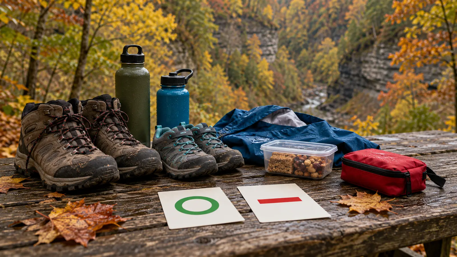
Drive to 1686 State Route 38 in Moravia only after the trail-status call, use the restroom at arrival if open, walk one route that staff or current signs confirm, picnic or use the playground where permitted, then leave before the family spends the return-drive energy. Do not combine the gorge, both rims, swimming and camping into one October promise.
From central Syracuse, allow roughly 45–70 minutes each way as an editorial planning range, not live navigation. Origin, traffic, road work and weather change it. The park is in a narrow gorge landscape; a short mileage does not mean easy footing or stroller access. Check live directions and build a bathroom stop into the return.
The official Fillmore Glen State Park page is the primary check. It lists year-round dawn-to-dusk day use, the park office contact, amenities and the current notice stack. This guide does not choose between conflicting official blocks from a distance; it turns the conflict into a safe decision.
Use only if the office or current trailhead notice confirms the exact segment open. Ask for the turnaround rather than assuming the historic 1.31-mile Gorge Trail is continuous. Allow 60–120 minutes for family pace, wet surfaces, stairs or bridges and the return. The goal is not five waterfalls; it is an unambiguous route everyone can reverse.
Use only if staff confirms the chosen rim, entry and exit. Rim does not mean flat or edge-free. Keep children within direct control, stay behind barriers and avoid shortcuts. A loop shown on an old map can be broken by one closure, so carry the current paper or downloaded map and make an out-and-back if the connection is uncertain.
If the trail answer is unclear or footing fails the family gate, use the legal open day-use area: restroom check, Millard Fillmore cabin replica if currently open, a short observation walk approved by staff, picnic and playground where permitted. The official page says the replica cabin is generally open daylight hours mid-April to mid-November, but confirm today. A 45–75-minute lower-park visit is still a completed outing.
The park lists year-round dawn-to-dusk hours. Its posted vehicle fee is $8 when collection is active, and the schedule says collection runs May to mid-October with date- and weekday-specific periods. October 22 is outside the listed ordinary collection window, but that is not a promise of free access, an open gate or every facility. Check the current page and office; special operations can change the practical answer.
The public page still displays a 2025 swimming season rather than a 2026 swimming schedule. That stale date is a hard reason not to promise swimming. Late October is not a swim plan. The official reservation system identifies a 2026 camping season, but a day visitor should verify booking dates, gate procedure, minimum stays and availability in the live reservation portal. Do not use an old season line as a reservation.
The park says restrooms are open from mid-April to mid-November; maintenance, weather or winterization can narrow that. Use the family bathroom-stop plan and call when a working accessible restroom determines whether the trip is possible. No café is assumed. Bring a simple meal, water and a trash bag, and pack out all waste.
Carry grippy closed-toe footwear, weather layers, any essential medication, a compact first-aid kit, offline directions, charged phone, current map and a small snack. Keep it to one adult pack plus a kid layer or water they can comfortably manage. The outdoor cutoff plan gives weather, daylight and energy veto power; the fall-layer guide prevents a giant just-in-case bag.
Wet stone, leaves, stairs, bridges and steep terrain can change by the hour. Stay on marked open trails and behind every barrier. Do not enter closed segments, climb gorge walls, approach an edge for a photograph or treat a creek crossing as a play area. A child who cannot reliably stop at the first instruction is not ready for a gorge route today.
The official page says deer hunting is permitted in season. It does not make this family guide a season calendar or boundary map. Ask the office how current hunting affects open trails and recommended visible clothing; obey signs and never wander onto an unmarked route. If the arrangement is unclear, use the lower park or choose another destination.
The posted policy allows at most two supervised pets in campsites and day-use areas unless signs or directives prohibit them. Pets must be crated or on a leash no longer than six feet, with proof of rabies vaccination available if requested. They are not permitted in playgrounds, buildings, boardwalks, pools, spray grounds or guarded beaches; service animals are treated separately. A general day-use allowance does not confirm that every trail or bridge is suitable, so ask and leave the pet home when control or footing is doubtful.
Do not infer an accessible gorge route from an accessible parking or facility symbol. Contact the park about the exact lot, restroom, grade, surface, bridge and turnaround needed by the person traveling. A stroller, wheelchair or medical walker is not a trail-condition experiment. Families needing a reliably flatter outing can compare the Onondaga Lake Park plan after checking its conditions.
Rain or ice: the route gate fails when footing, creek conditions, wind or a warning makes the gorge uncertain. Do not downgrade a closure in the parking lot because the drive was long. Low energy: restroom, cabin exterior or approved lower-park observation, ten-minute snack, leave. Meltdown: turn toward the car at the first safe junction; do not promise one more waterfall. No answer from the park: if the exact route matters, postpone rather than convert silence into permission.
For another Finger Lakes gorge with its own separate current checks, use the Buttermilk Falls plan or Taughannock guide. Trail status does not transfer between parks.
Skip a gorge or rim route when anyone cannot manage confirmed grades and surfaces, a child cannot follow edge rules, weather or daylight is marginal, the intended trail is not explicitly confirmed, or a long drive will consume the family's patience before arrival. Skip the whole outing when restrooms or access are essential and cannot be verified. Families mainly seeking swimming, a staffed attraction or a guaranteed accessible loop should choose a destination that can confirm those needs.
Reviewed October 22, 2026 by Mr Adventure Dad Editorial Desk using the linked official New York State Parks page, its current contact and its linked trail information. The page's conflicting open/closed Gorge Trail notices are reported transparently rather than resolved by inference. Drive range, timing and three-route framework are editorial planning judgments, not a first-person trip report or park promise. Image is explicitly conceptual. No affiliate links are attached. Send sourced corrections through About.
MAKE THE WEEK COUNT
Build the plan your family can finish well, then leave enough energy for the next part of the day.
More family plans